Allsky camera and last CMOS image of K87 Dettelbach Vineyard Observatory
Last image: MPL_2013_TW135_Light_4x4_38,600secs_00000793.fit 08.04.2026 04:47:37 UTC+1
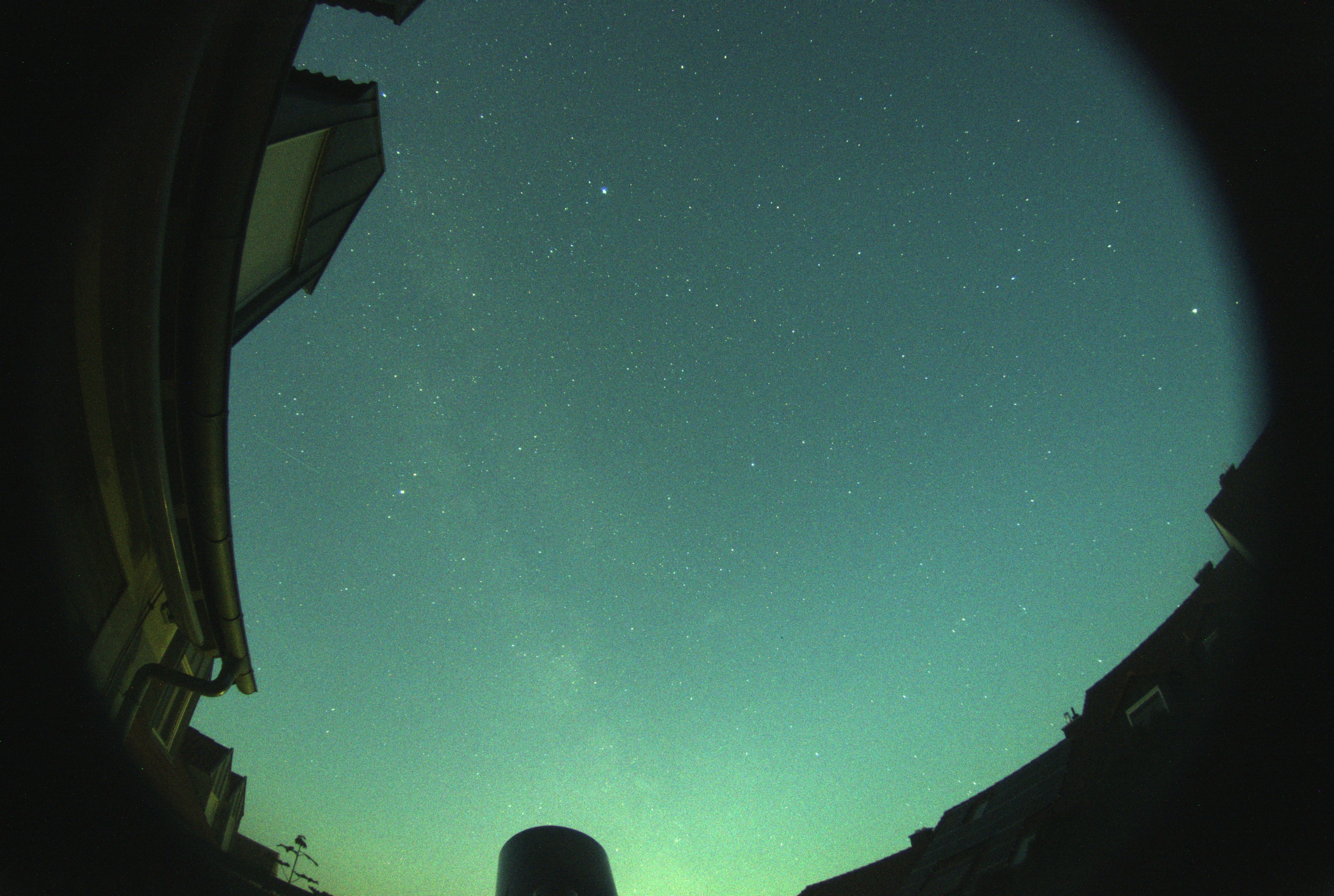
Camera: ZWO ASI178MC, lens: 8-12mm IR 3MP 1/2.7" F1.4,
Exposure time of night images: 15sec., the webcam is only active between the nautical twilights.Current images are only displayed while the session is active!
Objects are positioned according to the plan provided by NEO Planner, based on ephemerides from
JPL Horizons API or
JPL Scout API data.
NEO Planner also provides the necessary exposure times and number of exposures per object to complete three measurements at the FWHM interval.
The small red cross in the image marks the object's starting point at the time of the first exposure.
Since the telescope is not perfectly aligned to the north, the starting position may deviate from the center of the image by a few arcseconds or arcminutes..
For newly discovered objects from the NEOCP, the deviation of the object's actual position can be significant.
The green circle indicates the area where the object is located at the time of the exposure.
However, most objects are too faint (see Vmag value) for a single exposure. Objects of magnitude 16 or brighter are typically found within the field of view.
The DarkGoldenrod line shows the object's path from the starting point (the small red cross) to the current exposure.
The center of the LightSkyBlue circle marks the calculated position of the current exposure.
In accordance with the Execute Search function S in NEO Planner, the 1-sigma and full-range deviations for NEOCP objects are also displayed as ellipses.
The light green ellipses represent the 1-sigma deviation in RA and Dec, while the orange-red ellipses indicate the full-range deviation.
Both ellipses may be partially or completely outside the image for short orbital arcs.
A possibly visible whitish round spot with a dark center in the middle half of the image is a defect of the CMOS chip.
The conversion of the last .fit image from the telescope camera into the .jpg format, the necessary statements for free remote plate solving with ASTAP,
and the textual and graphical notes and drawings were kindly created in cooperation with the free Gemini AI.
Last screen of the NEO Planner planning session with the objects of the current (last) session.
Internal links: HomeIntroduction to NEO Planner
The Allsky camera is mostly active over clear nights! Check the
SQM informations for actual conditions.
Telecommunication Tower Burgbernheim, Germany
Telecommunication Tower Burgbernheim of the German Telekom on the Breithart mountain close to Burgbernheim in Bavaria (494m NN).
Wiki
The tower is located in a distance of 42.8 km or 26.6 miles in PA194, its height is 118m. The vineyards on the left side are located in a distance of about 20 km.
The sky condition was really excellent after a few days of northern polar winds.
Image on May, 09 2017, UT17:41, Field of view about 1 x 0.66 degrees
Camera: Canon EOS 5D Mark II, lens: EF70-200 mm f-2.8L IS II USM + 2.0 x
Focal length and exposure time: 400mm, f-5.6, ISO50, 1/100sec.
Weather conditions on the late afternoon of May,9 2017: